


A continental shelf is the submerged edge of a continent. When this shelf extends beyond 200 nautical miles from the coast, it’s called the "extended continental shelf" (ECS), according to the U.S. Extended Continental Shelf Project. International law allows countries to claim their ECS within certain limits. While around 75 countries have defined their ECS boundaries, the U.S. didn’t do so until the end of 2023. In December 2023, the U.S. Department of State announced that the U.S. was expanding its ECS by more than 386,000 square miles—about the size of Egypt or slightly more than two Californias, according to Big Think.
 Representative Image Source: USA - Stock illustration (Photo by CSA Images/Getty Images)
“Like other countries, the United States has exclusive rights to conserve and manage the living and non-living resources of its ECS,” proclaimed the State Department. The department also wrote that the ECS has many resources like corals, crabs, and ‘vital habitats for marine life.’
As the U.S. laid claim to its surrounding ocean territory, former Alaskan lieutenant governor and former chair of the U.S. Arctic Research Commission, Mead Treadwell declared, "America is larger than it was yesterday," in a report published by Alaska Public Media. This extension of American territory is a collaborative work of the National Oceanic and Atmospheric Administration (NOAA), the US Geological Survey, and 12 other agencies who had been gathering geological data to define ECS limits, since 2003, as IFL Science explains.
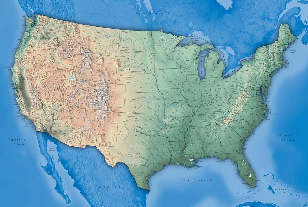 Representative Image Source: Physical USA Map with State boundaries and City Names (Photo by ziggymaj/Getty Images)
According to the claim, the US has extended its territory in seven offshore areas including the Arctic, Atlantic (east coast), Bering Sea, Pacific (west coast), Mariana Islands, and two areas in the Gulf of Mexico. Big Think reflects that out of these seven areas, the most important is the Arctic, not only because of its size but also because of its resource potential. As the American landmass expands, its strategic position in terms of global shipping, mining, and fishing will also increase in importance.
However, the legal basis of this claim remains somewhat uncertain, as Treadwell explained to the Wilson Center. To make the definition official, the US has to submit data and reports to the United Nations Convention on Law of the Sea (UNCLOS). However, the US has not ratified UNCLOS due to complex political disagreements (the agreement has been ratified by 168 states and the European Union). Although this creates uncertainty and the possibility of conflict, the likelihood of another country filing counterclaims is low.
 Representative Image Source: United States of America Night Lights View From Space (Photo by Constantine Johnny/Getty Images)
As the Wilson Center reports, America’s ECS partially overlaps with ECS areas of Canada, The Bahamas, and Japan. In these areas, it will have to establish maritime boundaries in the future. But in other areas including Cuba, Mexico, and Russia, the US has already created boundaries. Plus, there is no need for a future negotiation with Russia over territorial rights. This is because each country has delineated its continental shelf limits concerning a boundary set by a 1990 agreement between the US and the Union of Soviet Socialist Republics on the Maritime Boundary.


 Pexels | Photo by Andrea Piacquadio
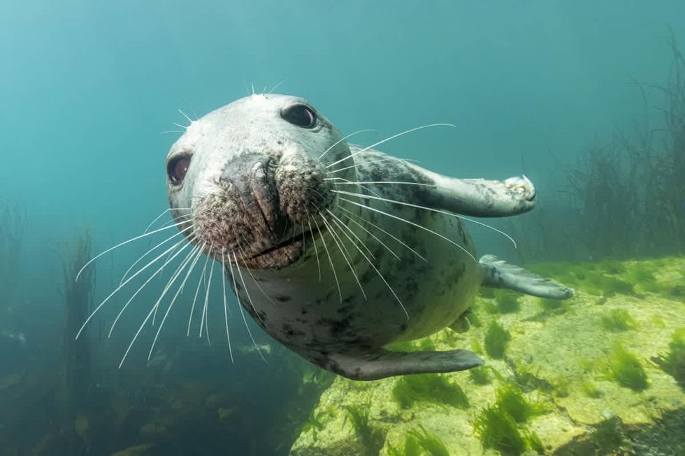 An Atlantic grey seal looking at the camera underwater. (Representative Image Source: Getty Images | Mark Chivers)
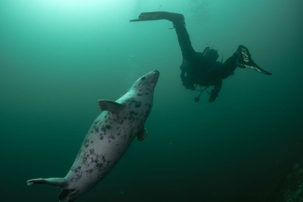 A grey seal swims up to a scuba diver. (Representative Image Source: Getty Images | Huw Thomas)
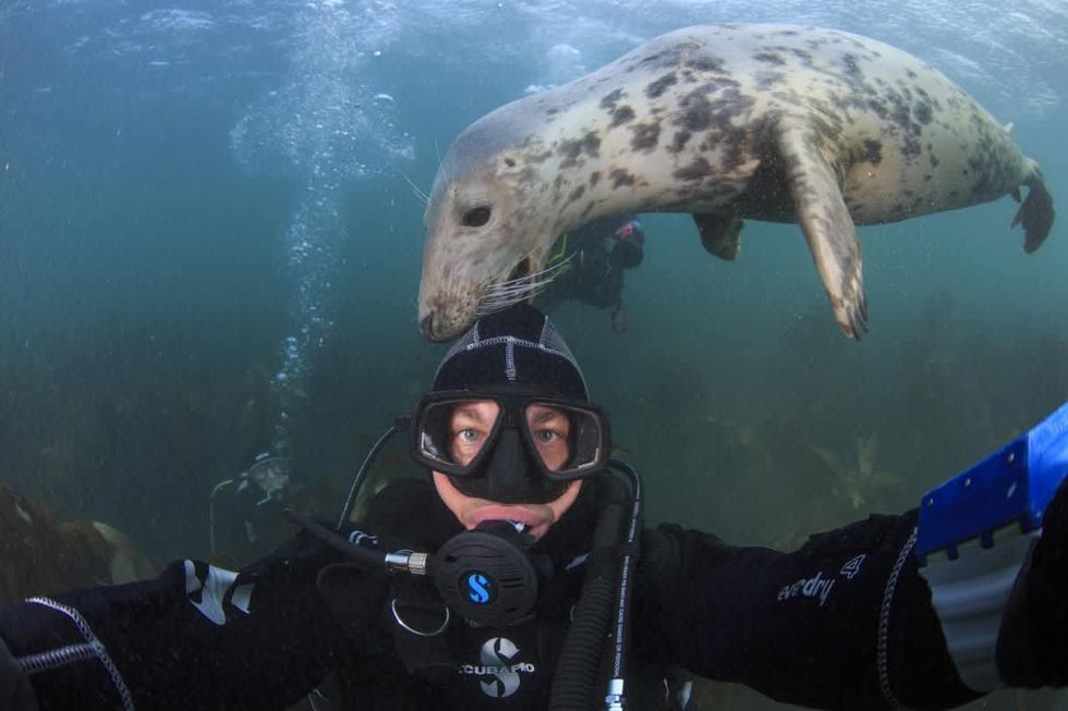 A Grey seal nibbles at the hood of a scuba diver. (Representative Image Source: Getty Images | Bernard Radvaner)
 Image Source: Seth Rogen and Lauren Miller Rogen co-host the HFC Austin Brain Health Dinner on September 30, 2023, in Austin, Texas. (Photo by Rick Kern/Getty Images for Hilarity for Charity)
 Image Source: Seth Rogen and Lauren Miller Rogen attend the 95th Annual Academy Awards on March 12, 2023 in Hollywood, California. (Photo by Arturo Holmes/Getty Images )
 Image Source: YouTube |
  Image Source: YouTube |
 Image Source: In this handout photo provided by the National Science Foundation, the Event Horizon Telescope captures a black hole at the center of galaxy M87 in an image released on April 10, 2019. (National Science Foundation via Getty Images)
 Representational Image Source: Pexels I Photo by Nataliya Vaitkevich
 Representative Image Source: Pexels | Kampus Production
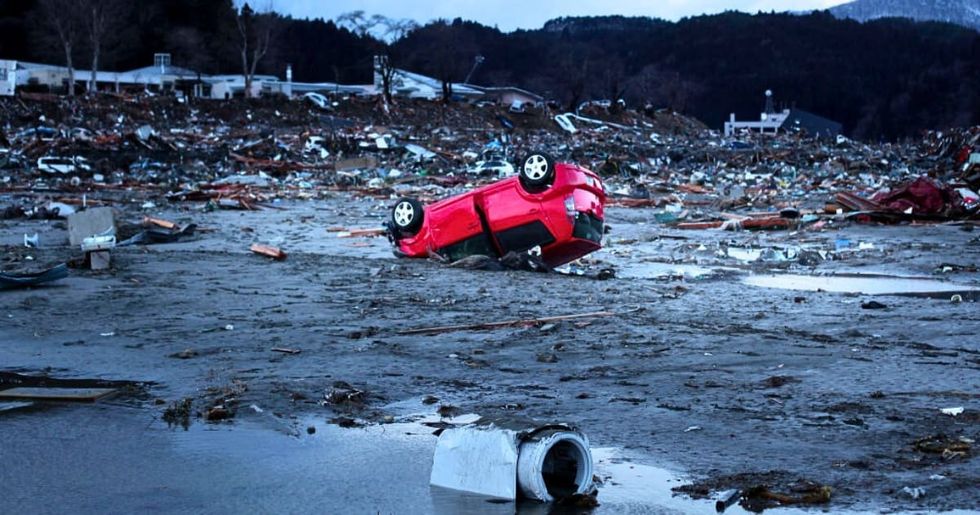 Image Source: Destroyed vehicles lie near the rubble after the earthquake and tsunami devastated the area on March 16, 2011, in Minamisanriku, Japan. The 9.0 magnitude strong earthquake struck offshore on March 11 at 2:46 pm local time, triggering a tsunami wave of up to ten meters which engulfed large parts of north-eastern Japan. (Photo by Chris McGrath/Getty Images)
 Representative Image Source: Pexels | Pixabay
 Representative Image Source: Pexels | Stuart Pritchards
 Image Source: Musician Keith Urban and actress Nicole Kidman arrive at the 2009 American Music Awards at Nokia Theatre L.A. Live on November 22, 2009 in Los Angeles, California. (Photo by Jeffrey Mayer/WireImage)
 Image Source: Keith Urban and Nicole Kidman attend The 2024 Met Gala on May 06, 2024 in New York City. (Photo by John Shearer/WireImage)
 Image Source: Musician Keith Urban and actress Nicole Kidman arrive at the Oscars on February 24, 2013 in Hollywood, California. (Photo by Jeff Vespa/WireImage)
 Representative Image Source: Pexels | August de Richelieu
 Representative Image Source: Pexels | August de Richelieu
 Representative Image Source: Pexels | Djordje Vezilic
 Representative Image Source: Pexels | Fauxels