For decades, UFO sightings have been reported worldwide, often sparking intrigue and leaving some mysteries unsolved. These sightings are usually imagined as flying saucers or enormous spaceships, especially in films. In New Zealand, however, a real-life “saucer” shape appears regularly in the skies over Otago, creating a scene straight out of sci-fi. Residents of Middlemarch and Hyde in Otago have grown accustomed to this recurring “UFO cloud” that’s been appearing in the same area for more than 100 years.

This cloud, which locals call "Taieri pet," seems to hover mysteriously in place before dissolving into the sky. Whether it’s simply an atmospheric phenomenon or something more eerie remains unknown, though Live Science suggests science might offer some answers. The cloud last made headlines in 2020 when Air New Zealand First Officer Geoff Beckett spotted it while flying over Dunedin. "I’ve been flying for 20 years now, and I’ve never seen anything like that,” Beckett told the Otago Daily Times, calling it “the best example I’ve ever seen.” He described the cloud as a colossal formation stretching upward, comparing it to an “alien mothership” due to its massive, otherworldly appearance, as reported by The Sun.
The latest sighting of the cloud on September 7, 2024, was captured in an image by NASA’s satellite OLI (Operational Land Imager). The cloud in the image is about 7 miles long but isn't exactly a UFO. As it turns out, the scientific name for such stubborn clouds is altocumulus standing lenticular cloud (ASLC). Also called a “lenticular cloud,” it's usually formed when high-speed winds encounter a topographic barrier such as a mountain range, as per NASA’s Earth Observatory.
After encountering the mountains, the gust of wind is forced to flow upwards and over the mountains, and this forms a wave in the sky. Air cools at the crest of this wave and the water vapor condenses into clouds. In the case of Taieri Pet, winds from the northwest drool over the steep Rock and Pillar Range, where perpendicular winds shape the pet cloud. Once the cloud is formed, it remains stationary for a while. Observers of these clouds have often described them as “huge stack of pancakes” or “piles of plates.”
These clouds are notoriously dangerous due to their height and strong winds that can pose risks for airplanes passing by. FOX Weather reports that the appearance of these “pet clouds” is an indication that there are extreme weather conditions in the atmosphere, which could soon trigger a variety of climatic conditions.








 A pair of scissors.
 A can opener opening a tin can.
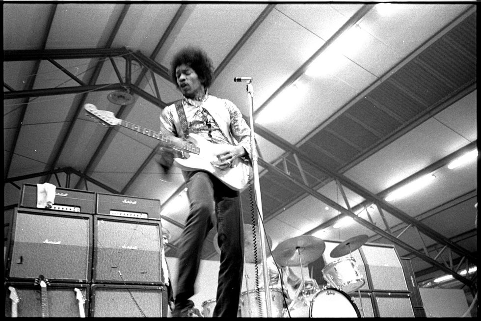 Jimi Hendrix playing on stage.Public Domain
 A man handing over $20 in cash.
 A person using a power saw.
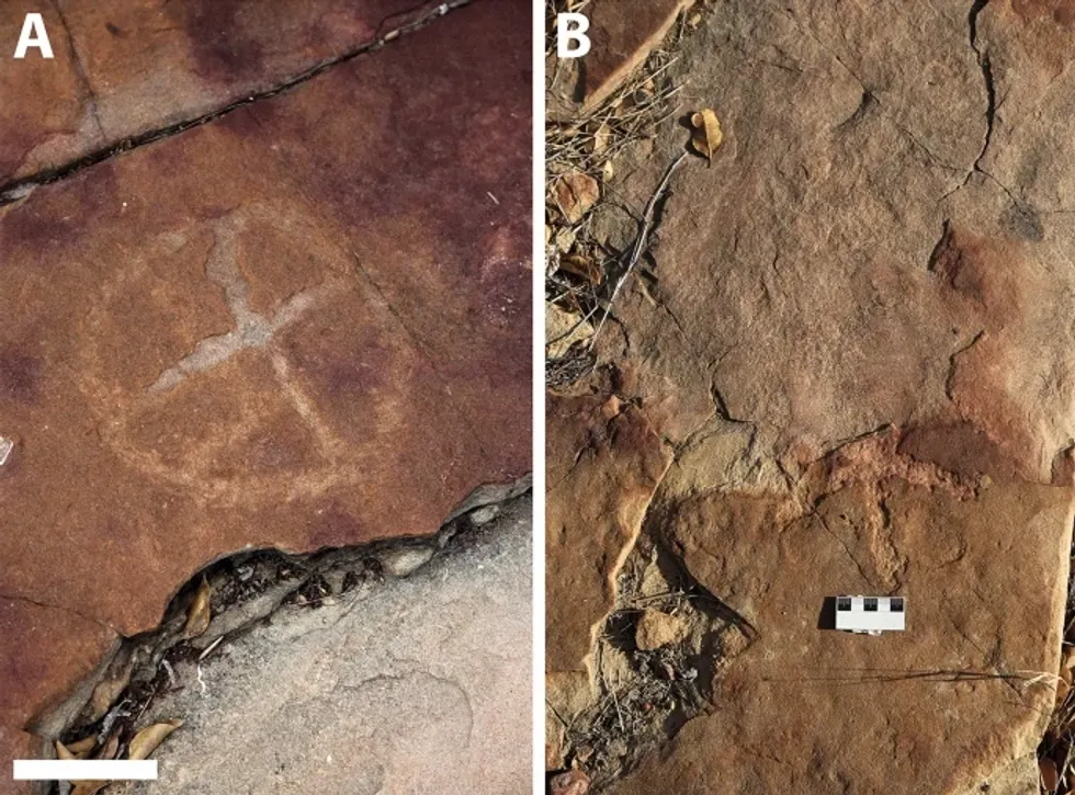 Rock deterioration has damaged some of the inscriptions, but they remain visible. Renan Rodrigues Chandu and Pedro Arcanjo José Feitosa, and the Casa Grande boys
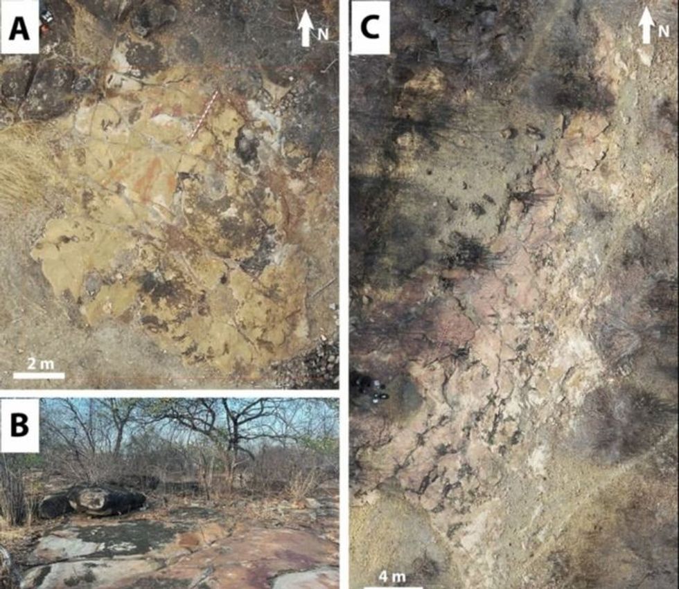 The Serrote do Letreiro site continues to provide rich insights into ancient life.


