


Earth is impressively enigmatic, with many undiscovered territories and terrains still awaiting discovery. Although geologists have scanned nearly every corner of the Earth, the possibility of hidden continents remains. In 2017, a team of geologists made a marvelous discovery in the Southern Continent, dubbing it "the eighth continent of the world." Interestingly, this new continent, called Zealandia, was not secluded but quite conspicuous. A detailed study was published in the journal Tectonics.
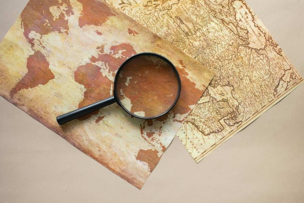 Representative Image Source: Pexels | Photo by Monstera Production
Although the researchers discovered this new continent in 2017, the hunt began almost 400 years ago. In 1642, Dutch captain Abel Tasman, serving the East India Company, was ordered to explore a Southern Continent. On August 14, 1642, Tasman departed from Batavia with two ships sailing west to Mauritius in the Indian Ocean, according to Princeton University Library.
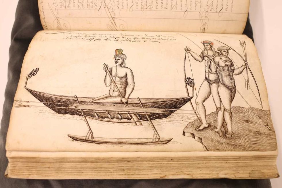 Image Source: A detailed view of the logbook of navigator Abel Tasman (Dutch East India Company) from 1642 and his journey to explore the unknown continent of Australia. (Photo by Dean Mouhtaropoulos/Getty Images)
On his voyage to the continent, he encountered the local Māori Indians. However, his meeting turned out to be tense, as per BBC. One day, many of these people paddled out on a canoe and rammed a small boat that was passing messages between the Dutch ships. Four Europeans died. This was the end of Tasman’s mission.
Tasman named the location “Moordenaers (Murderers) Bay,” and sailed home, never to return to this land, although he did believe that he had discovered a great new continent.
It was nearly 375 years after Tasman’s voyage that geologists stumbled upon this mainland. They announced the discovery by naming it “Zealandia,” based on the suggestion of American geophysicist Bruce Luyendyk who described this region in 1995. Zealandia is translated to “Te Riu-a-Māui” in the Māori language.
In a paper, researchers from GNS Science of New Zealand documented that they had to dredge rock samples from the Fairway Ridge to the Coral Sea to analyze the rock geochemically and understand the underwater makeup of Zealandia. Led by Nick Mortimer, they scanned the northern two-thirds of the submerged area, where they unearthed pebbly and cobbley sandstone, fine-grain sandstone, mudstone, bioclastic limestone, and basaltic lava from a variety of periods as concluded by their radiocarbon dating.
The rocks and stones were found to be roughly 95 million years old, from the Late Cretaceous period. The granite and volcanic pebbles were estimated to be 130 million years old, the Early Cretaceous period. The basalts however were newer, probably about 40 million years old, and from the Eocene period. “It is kind of cool,” said Mortimer, per BBC. Andy Tulloch, a geologist at the New Zealand Crown Research Institute GNS Science, who was part of the research team, added, "This is an example of how something very obvious can take a while to uncover.”
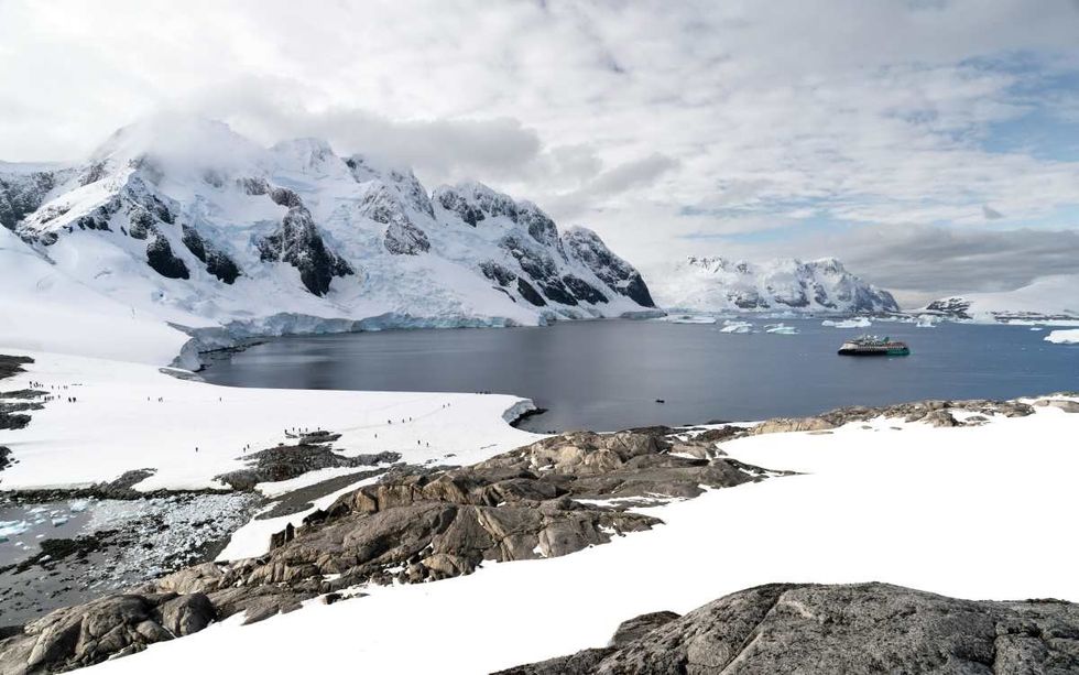
Although Zealandia is a vast continent that spans an expanse stretched for 4.9 million square kilometers, around six times the size of Madagascar, most of it is submerged under the South Pacific Ocean. Only the area at the Ball’s Pyramid on Lord Howe Island rises above the water’s veil. It is the smallest, thinnest, and youngest of all known continents.
Usually, the continental crust is about 40 kilometers deep, thicker than the oceanic crust which is about 10 kilometers. The researchers proposed that since Zealandia ended up stretched too much, its crust became thinner, around 20 kilometers, and finally disappeared under the sea. With 95 percent of its territory submerged beneath the ocean’s depths, Zealandia prowls on planet Earth as a lair possessing an enigmatic charm of mysterious historical elements and ancient stories.
Editor's note: This article was originally published on June 22, 2024. It has since been updated.


 Representative Image Source: Pexels | Anni Roenkae
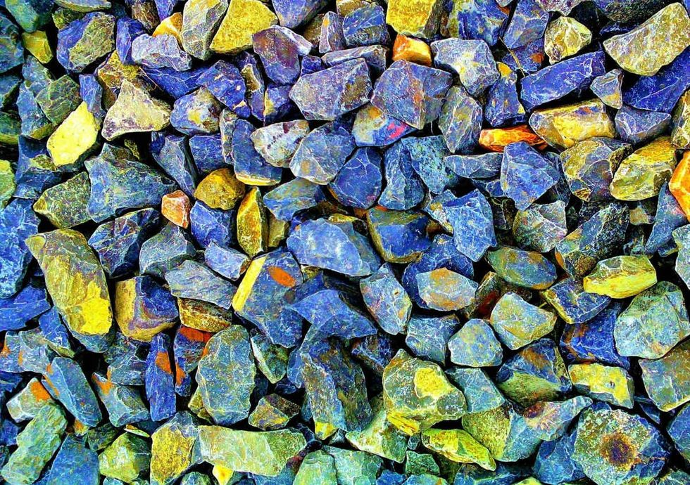 Representative Image Source: Pexels | Its MSVR
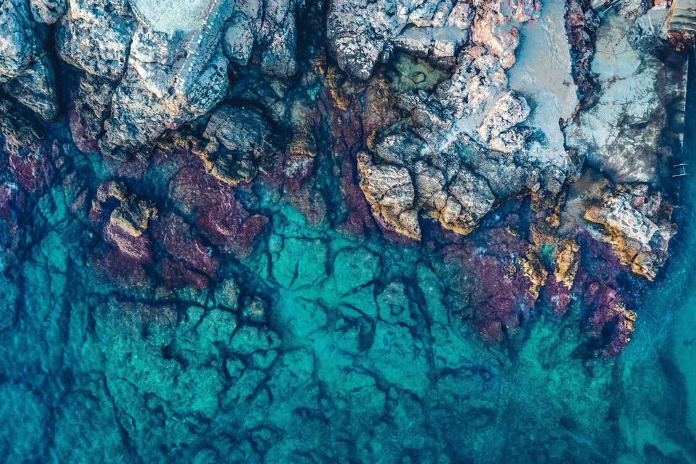 Representative Image Source: Pexels | Lucian Photography

 Representative Image Source: Pexels | francesco ungaro
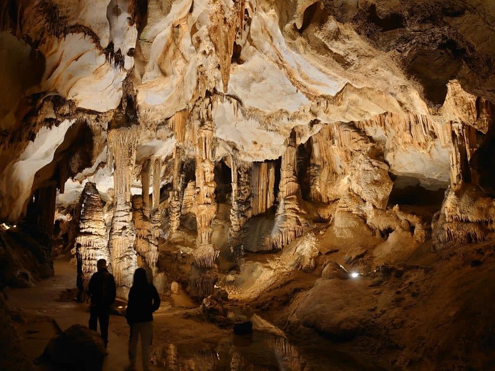 Representative Image Source: Pexels | parfait fongang
 Image Source: YouTube |
  Image Source: YouTube |
  Image Source: YouTube |
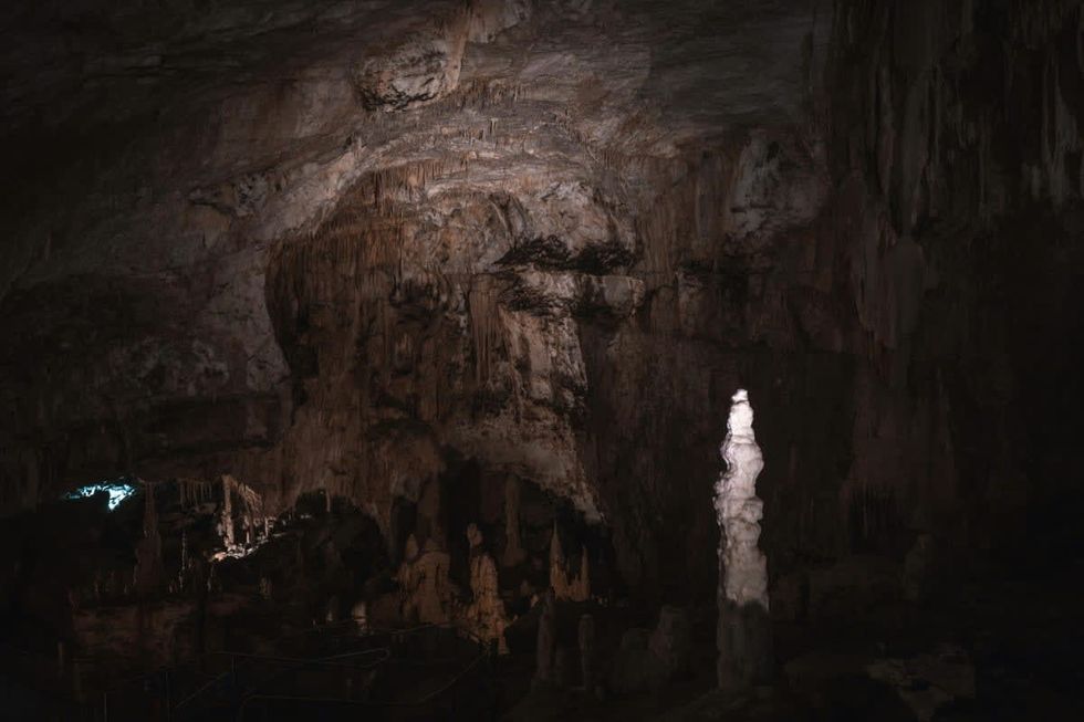
 Representative Image Source: Pexels | Hugo Sykes
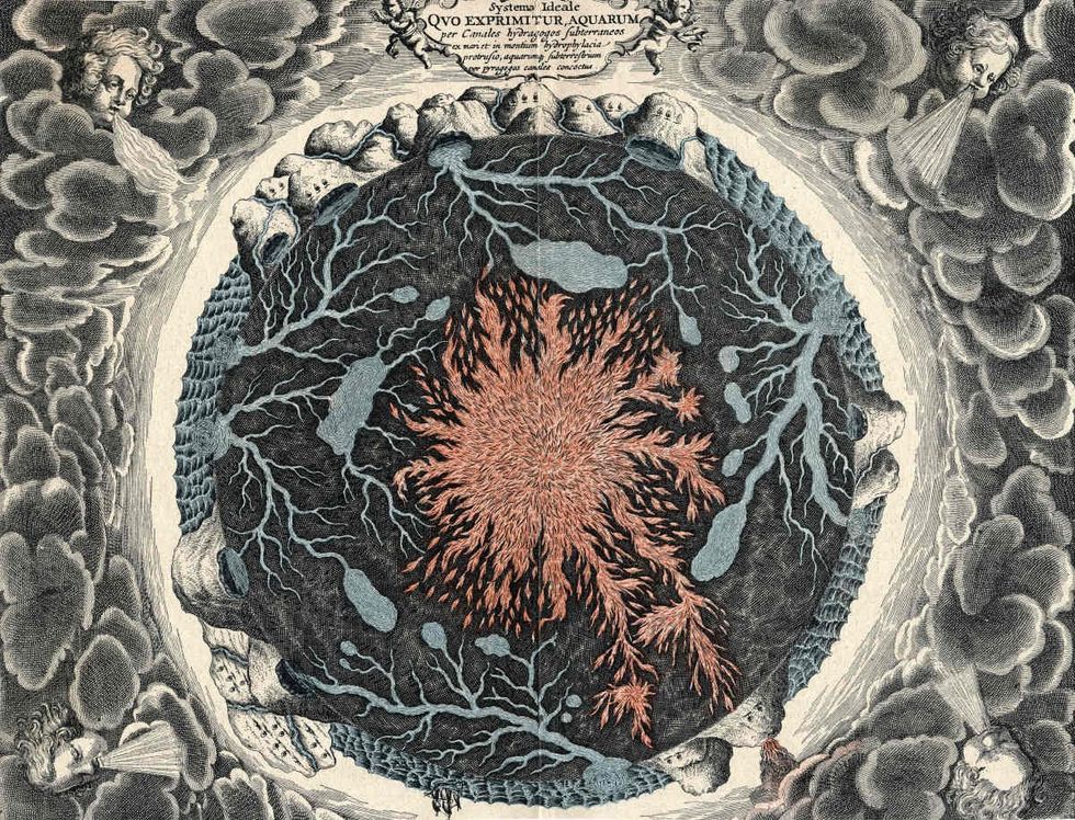 Representative Image Source: Sectional view of the Earth, showing central fire and underground canals linked to oceans, 1665. From Mundus Subterraneous by Athanasius Kircher. (Photo by Oxford Science Archive/Print Collector/Getty Images)
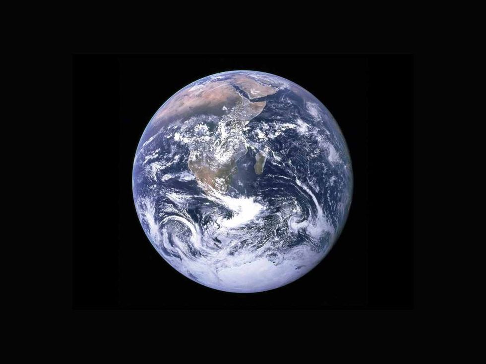 Representative Image Source: Pexels | NASA


 Representative Image Source: Pexels | Steve Johnson
 Representative Image Source: Pexels | RDNE Stock Project
 Representative Image Source: Pexels | Mali Maeder
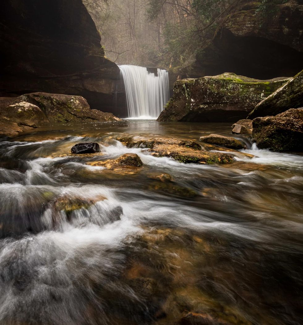 Photo: Craig Mack
 Photo: Craig Mack