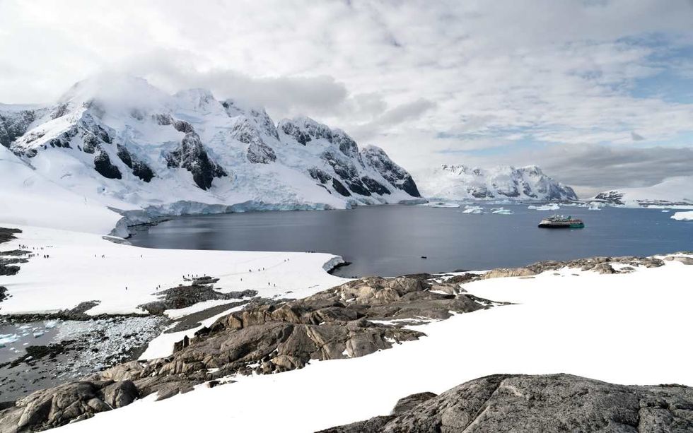
In the summer of 2015, Samantha Hansen set foot in the snow-white terrain of Antarctica along with her team of researchers from the University of Arizona and the University of Alabama. They were carrying spades and shovels to scoop out snow from the field and do their task. Their goal was to set up and install seismology stations. Using these stations, the researchers identified a mysterious range of underground mountains sandwiched between Earth’s mantle and core. According to their study, these mountains are five times taller than Mount Everest in some places. Findings were published in the journal Science Advances.
“Analyzing thousands of seismic recordings from Antarctica, our high-definition imaging method found thin anomalous zones of material at the CMB (cosmic microwave background) everywhere we probed,” said Dr. Edward Garnero, co-author of the study, in a university press release. “The material’s thickness varies from a few kilometers to 10’s of kilometers. This suggests we are seeing mountains on the core, in some places up to 5 times taller than Mt. Everest.” Along with Hansen and Garnero, the co-authors of the paper included Mingming Li and Sang-Heon Shim from Arizona State University and Dr. Sebastian Rost from the University of Leeds. Through global-scale seismic imaging, they unfolded these colossal mountains hidden deep beneath the Earth’s surface.
Deep inside the Earth’s surface, the boundary between its core and mantle has been an environment of curiosity for geologists worldwide. According to Insider, about 2,000 miles under the Earth's surface, temperatures soar drastically, and the material changes from solid rock in the mantle to a “gooey iron sludge” inside the core. Geologists study seismic waves spreading from the epicenter of an earthquake to the inside of a planet, to understand what lurks and happens in the planet’s innards. "Admittedly, to most people, seismic data is probably not that interesting to look at. It is a wiggly line that varies with time. But that wiggly line contains an amazing amount of information!" Hansen told Insider.
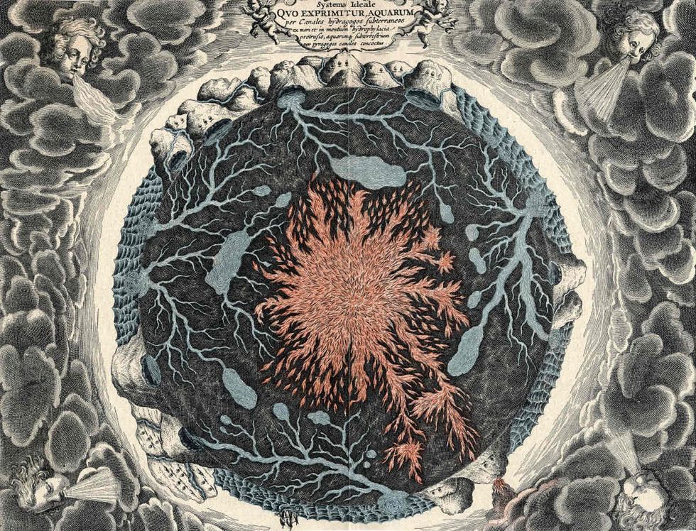
This particular study suggested that there was a layer of “ancient ocean floor” squished between the core-mantle boundary. It was subducted long ago as tectonic plates shifted. They called this region the “ultra-low velocity zone (ULVZ).” This zone was denser than the rest of the mantle. Scientists found this ancient ocean floor by scanning the seismic waves reverberating through it, just the way a body is examined through an X-ray or medical scan. “Seismic investigations, such as ours, provide the highest resolution imaging of the interior structure of our planet, and we are finding that this structure is vastly more complicated than once thought,” Hansen said in the press release. “Our research provides important connections between shallow and deep Earth structure and the overall processes driving our planet.”
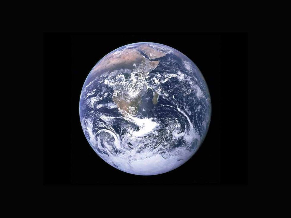
Using a system of sound wave echoes from the core-mantle boundary, Hansen and her team identified unusual spurts of energy within several seconds of examination. Mapping these signals, they compared the layer of this “pencil-thin” material to the thickness of Earth’s layers, which led them to find ULVZ. The ULVZ or mountains they found ranged from less than about 3 miles to more than 25 miles. As per the press release, the discovery of these underground mountains can provide a potential explanation of how heat escapes from the magnetized core. Also, further study of these ancient ocean floor materials could provide insights into how volcanic eruptions happen when the mantle plumes or hot spots travel back to the surface.
This article originally appeared last year.


 Representative Image Source: Pexels | Anni Roenkae
 Representative Image Source: Pexels | Its MSVR
 Representative Image Source: Pexels | Lucian Photography

 Representative Image Source: Pexels | francesco ungaro
 Representative Image Source: Pexels | parfait fongang
 Image Source: YouTube |
  Image Source: YouTube |
  Image Source: YouTube |


 Representative Image Source: Pexels | Steve Johnson
 Representative Image Source: Pexels | RDNE Stock Project
 Representative Image Source: Pexels | Mali Maeder
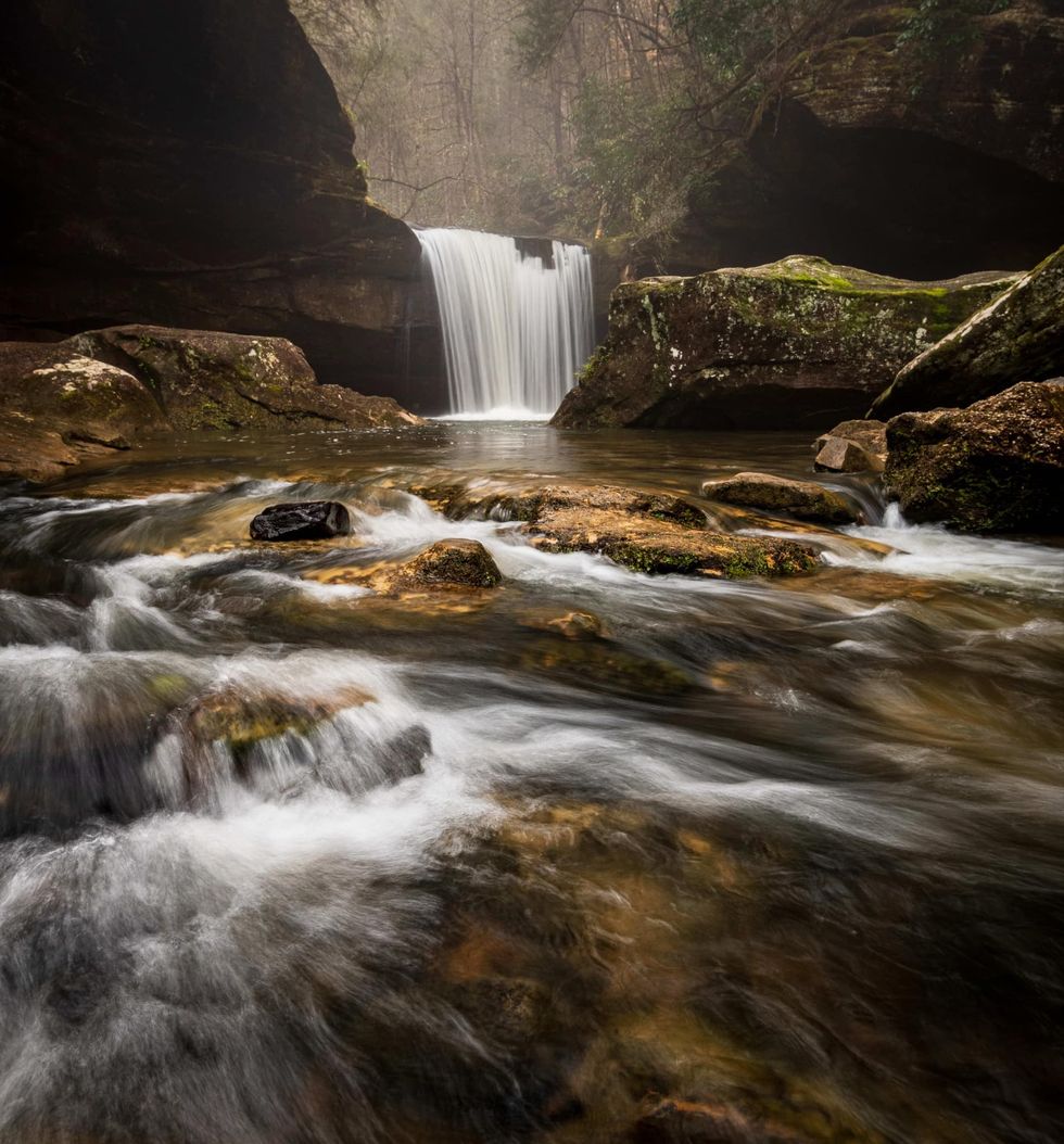 Photo: Craig Mack
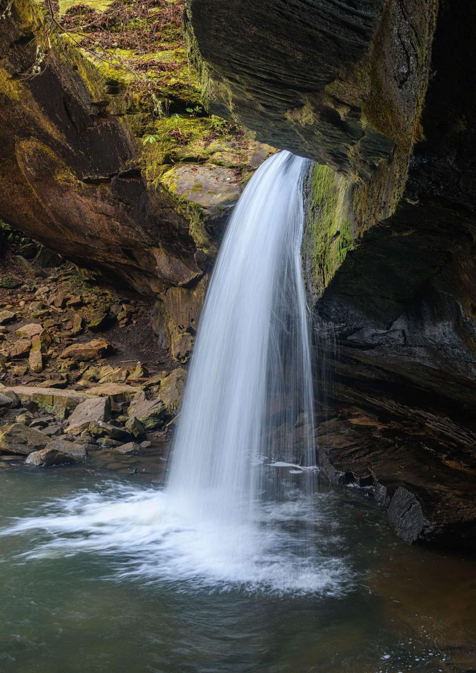 Photo: Craig Mack
 Representative Image Source: Pexels | Kellie Churchman
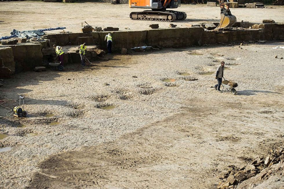 Representative Image Source: Footprints of a long-neck dinosaur (Diplodocus), found in a quarry in Germany. (Photo by Alexander Koerner/Getty Images)
 Representative Image Source: Painting from a series by Ernest Untermann in the museum at Dinosaur National Monument, Utah.
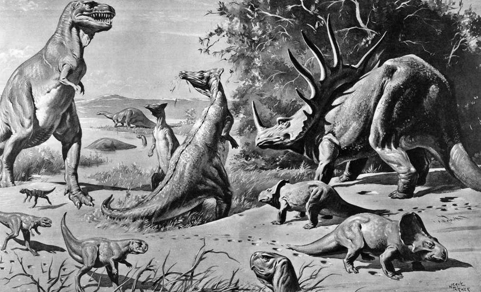 Representative Image Source: VARIOUS DINOSAURS IN GOBI DESERT. (Photo by H. Armstrong Roberts/ClassicStock/Getty Images)