With nearly 70% of Earth’s surface covered by water, our oceans hold some of the planet’s most intriguing geological and historical secrets. In 2022, marine biologists discovered a unique formation in an unexplored part of the Pacific Ocean—a structure they playfully nicknamed the “yellow brick road to Atlantis.” The Ocean Exploration Trust’s E/V Nautilus captured the breathtaking find on video and shared it on their YouTube channel.
This "yellow brick road" formation was located atop an undersea mountain near Hawaii, leaving the research team in awe. In the footage, one researcher expresses curiosity about sampling the manganese crust after spotting a strange, almost paved-looking pattern across its surface.
Using a machine's claws, they extracted a chunk of the shiny, charcoal-grey ferromanganese crust. “That’s not sediment, that’s like baked crust. You can peel it off,” one of them says. “It's like bricks and cobblestone,” says another. Suddenly one of the researchers exclaims, “It’s the road to Atlantis!” Another adds, “That’s a really unique feature.”
“This is the yellow brick road,” someone else from the team exclaims. Another one says, “Are you kidding me? This is crazy.” One researcher says she feels like they’re on Mount Vesuvius, excavating. One of the team members shouts, “This is bizarre!”
As per HISTORY, Atlantis is a mythical island nation mentioned in Greek philosopher Plato’s dialogues “Timaeus” and “Critias.” Plato describes Atlantis as an island larger than Libya and Asia Minor put together, located in the Atlantic just beyond the Pillars of Hercules, generally assumed to mean the Strait of Gibraltar. After a series of earthquakes and floods, this island sank into a muddy sea. The oceanographers believe that they have stumbled upon this lost city.
- YouTubewww.youtube.com
However, what they called the “yellow brick road to Atlantis” was an example of ancient active volcanic geology, they wrote in the video description. They first discovered this structure when they dived on the Liliʻuokalani Ridge within Papahānaumokuākea Marine National Monument (PMNM). Swirls of seamounts rose from the seabed.
At the summit of Nootka Seamount, the team spotted a "dried lake bed" formation, which was later identified as a fractured flow of hyaloclastite rock, a volcanic rock formed in high-energy eruptions where many rock fragments settle to the seabed. “The unique 90-degree fractures are likely related to heating and cooling stress from multiple eruptions at this baked margin,” they wrote.
As shown in the footage, the team sampled basalts coated with ferromanganese crusts throughout the seamount chain at different depths and oxygen levels. They said one of these rocks “almost resembled a sponge.”
According to Vice, this team of oceanographers, first stepped aboard the E/V Nautilus research vessel as part of the Ocean Exploration Trust to explore this region. The project is part of an expedition called Luʻuaeaahikiikekumu (Luʻu-a-ea-a-hiki-i-ke-kumu), which represents the journey into the foundation and origin of the oceans or islands. In this particular project, the aim was to explore the PMNM, a U.S. marine conservation area in the North Pacific Ocean outside of Hawaii. As per NautilusLive, this expedition was funded by NOAA Ocean Exploration via the Ocean Exploration Cooperative Institute with additional support from the NOAA Office of National Marine Sanctuaries.
Around 25% of the ocean floor has been mapped. Researchers plan to use mapping equipment to create more detailed maps and uncover more secrets about this underwater area.
This article originally appeared last year.







 Representative Image Source: This Photo is a postcard sent home by a German soldier. (Photo by History & Art Images via Getty Images)
 Representative Image Source: Pexels | Tha Planet Speaks
 Representative Image Source: Friedrich Wilhelm Heinrich Alexander von Humboldt (1769-1859). (Photo by The Print Collector/Getty Images)
 Representative Image Source: Pexels | The Gusstavo
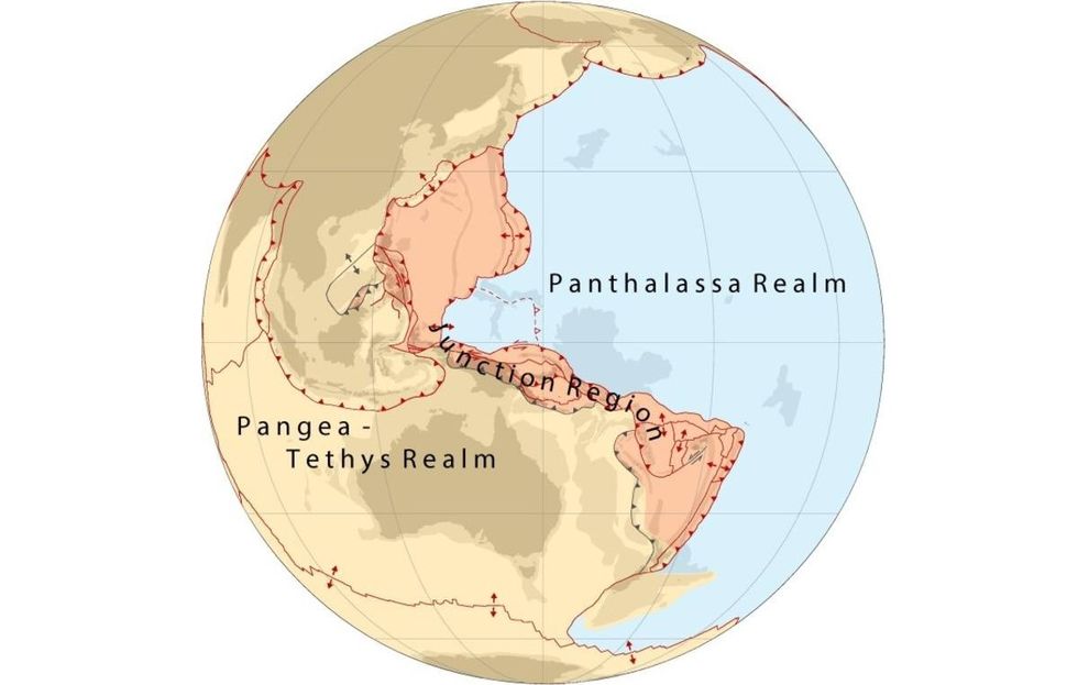 Image Source:
 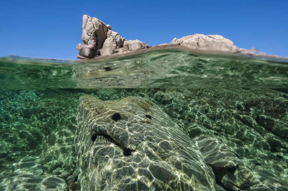 Representative Image Source: A split view mid-air mid-water in the Corsican waters, on August 19, 2011, in Porto Pollo, France. (Photo by Alexis Rosenfeld/Getty Images).
 Representative Image Source: Pexels | Lastly
 Representative Image Source: Pexels | Joremy Bishop
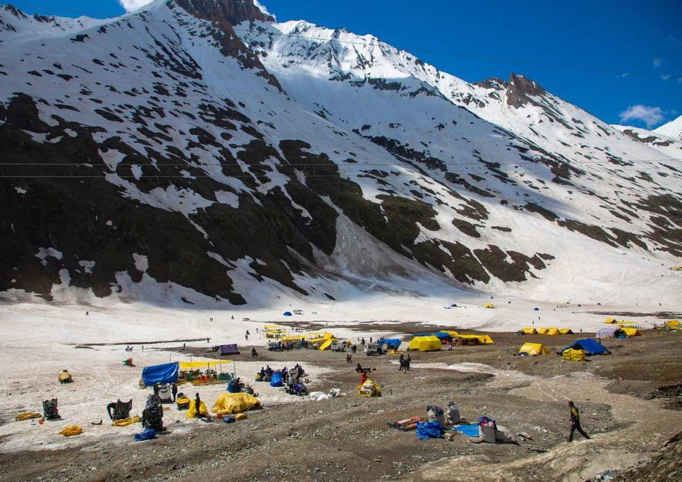 Image Source: Winter activities in the mountain, Ladakh, Zoji La Pass, India on June 15, 2023, in Zoji La Pass, India. (Photo by Eric Lafforgue/Art in All of Us/Corbis via Getty Images)
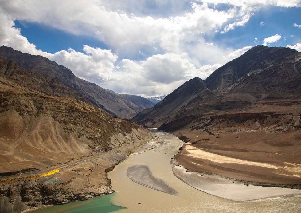 Image Source: Aerial view of the confluence of the Indus and Zanskar rivers, Ladakh, Leh, India on June 16, 2023 in Leh, India. (Photo by Eric Lafforgue/Art in All of Us/Corbis via Getty Images)
 Image Source: The Tibetan Plateau, often called "the Roof of the World," is the world's highest and largest plateau. (Photo by Kevin Frayer/Getty Images)
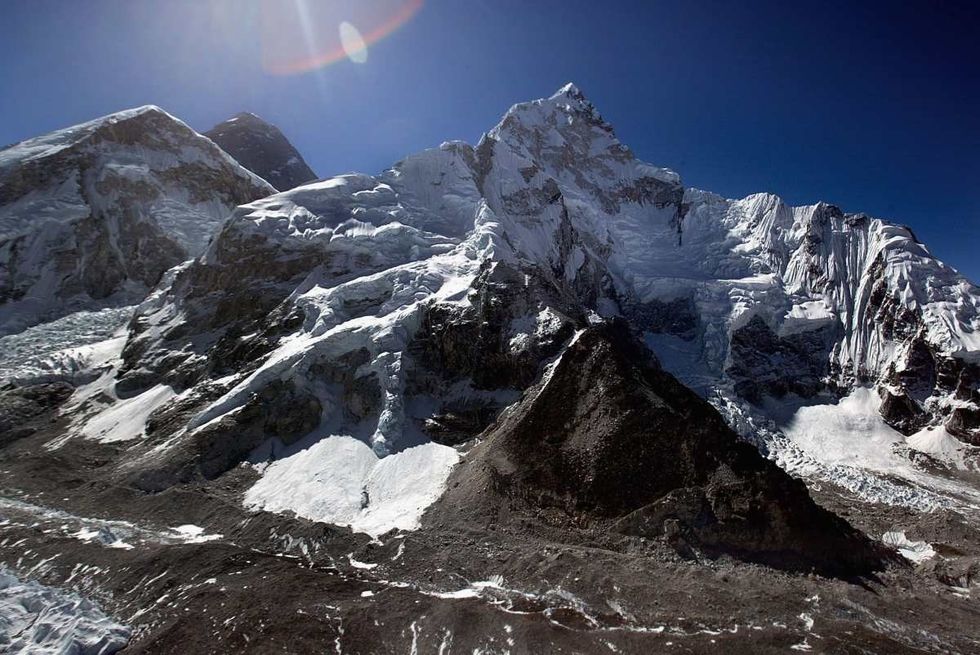 Image Source: 8,850-meter (29,035-foot) summit of Mount Everest, the World's tallest mountain May 29, 2003. (Photo by Paula Bronstein/Getty Images)